


At LDG, our culture encourages our people to make value-driven decisions for their clients, their communities, and themselves. Notes From the Road is a closer look at the learning opportunities and experiences of our employee owners from industry events, client engagements, and projects around the world.
Staff from Larson Design Group (LDG), an award-winning, employee-owned national architecture, engineering, and consulting firm, took part in annual GIS Day events at Carnegie Mellon University (CMU) in Pittsburgh, PA.
“GIS Day 2023: Sustainable Cities and Communities” was a joint event between CMU’s libraries and its Sustainability Initiative; the Allegheny County GIS Office; and GIS software company Esri to celebrate the positive impact of GIS applications. The day-long symposium explored the connections between GIS, spatial inquiry, and sustainable cities and communities.
LDG lead a discussion on using geographic information systems (GIS) and Business Analyst software to understand site-specific characteristics for retail and warehousing projects and designing community concepts around them, with the goal of mitigating any negative effects of the project.
We spoke with LDG’s Matt Kalcich, Project Manager, who attended the symposium and gave the firm’s presentation.
Tell us about the presentation.
LDG wanted to illustrate how the use of geospatial data and patterns can prove that a less-than-desirable light industrial facility, like a warehouse or distribution center, can still offer much-needed benefits to a community. We used examples from projects we’ve worked on to explain how using Business Analyst and GIS can lead to a better understanding of demographics, traffic patterns, access, parks, green spaces, and community centers, and how a proposed project could impact those factors – and even how we can mitigate any negative effects through the design itself.
What points were you trying to drive home for attendees?
The retail industry has been trying to close the gap between distribution sites like warehouses and delivery, which has driven warehousing closer and closer to urbanized areas. As companies look for parcels of land that are large enough to accommodate truck traffic, offer appropriate storage space, and can pass zoning and land use hurdles, they have to figure out how these projects will impact the community, and if there’s anything they can sponsor or create to offset concerns.
How are GIS applications beneficial to projects that may impact a community?
In the example that I presented at CMU, the proposed warehouse site would displace a community boxing program for troubled youth, so we then aimed to incorporate that concern into the preliminary concepts of the site design. We also analyzed demographics and community needs of this site, and we uncovered the need for good paying jobs, community hubs, greenspaces, and links to trail networks – all of which led to the design of a community building, parks, and access to walking trails to serve as a buffer between the community and the distribution center.
RELATED: Learn more about LDG’s GIS and Asset Management full-service offerings
ABOUT LDG
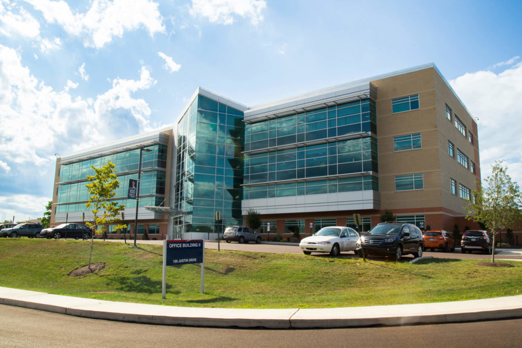
Founded in 1986, LDG is an award-winning, 100 percent employee-owned national architecture, engineering, and consulting firm with 17 offices in seven states and a vision to elevate client relationships, enrich the careers and lives of its employee-owners, and enhance the communities in which it operates.
For more than 30 years, we have been teaming with clients nationwide to provide responsive, innovative solutions by offering an extraordinary depth and breadth of capabilities and embracing sustainable business practices. For more information, visit About – Larson Design Group.